Hobie Forums http://www.hobie.com/au/en/forums/ |
|
My iPhone 4 and my Outback http://www.hobie.com/au/en/forums/viewtopic.php?f=11&t=30465 |
Page 1 of 1 |
Author: | pg13 [ Thu Aug 26, 2010 5:17 pm ] |
Post subject: | My iPhone 4 and my Outback |
Today I felt confidant enough to take my iPhone 4 with me in the Outback. I run the app GPS Motion X which keeps track of my position and progress while I listen to "Pandora", podcasts, or audio books. I wear a Plantronics bluetooth headphone while my iPhone stays safely in the gear bucket. And if a phone call comes in I can answer via the headphones as well. A nice addition to the Outback! (BTW I have none of the reception/dropped call problems they seem to have out in California.) 
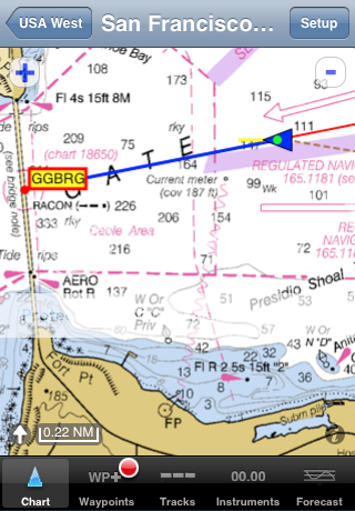
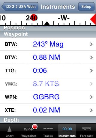
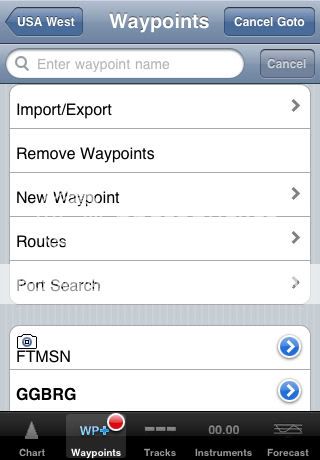
Below are some screen shots of This morning's trip on the app GPS Motion X: ![]() IMG_0036 by pgerhardt62, on Flickr ![]() IMG_0037 by pgerhardt62, on Flickr ![]() IMG_0035 by pgerhardt62, on Flickr |
Author: | Roadrunner [ Thu Aug 26, 2010 10:44 pm ] |
Post subject: | Re: My iPhone 4 and my Outback |
Doggone amazing what you can do with telephones these days! Of course, some of us out in California go out on the water to get away from the phone! ![]() |
Author: | Paul67 [ Fri Aug 27, 2010 12:10 am ] |
Post subject: | Re: My iPhone 4 and my Outback |
Nice, great little toy. And you say you can use it as a phone ![]() What an amasing little thing ![]() ![]() ![]() ![]() ![]() ![]() |
Author: | Revo_1756 [ Sun Aug 29, 2010 2:35 pm ] |
Post subject: | Re: My iPhone 4 and my Outback |
The iphone 3Gs and 4 are very versatile for kayaking offshore using the application iNavX. The base program for the iphone at $50.00 has all the NOAA nautical charts of the US Atlantic and Pacific coastlines and options for additional charts for a fee. I use it in a Waterproof iPhone DryCase with a headphone jack so I can listen to tunes on the water too. Great iPhone app for navigating the 10,000 Islands off the Florida West Coast. Loaded with features and does not need a cell phone tower to operate but uses the built in GPS. ![]() ![]() ![]() http://www.inavx.com/ Waterproof iPhone case that works exceptionally well. http://www.drycase.com/ Revo |
Author: | pg13 [ Mon Aug 30, 2010 3:46 pm ] |
Post subject: | Re:Using iPhone 4 and Other Gadgets with Outback |
Thanks for the tip on the Drycase. I just ordered one! ![]() Here is a a return tip. The Kodak PlaySport is a small and inexpensive HD camcorder that is water proof down to 3 meters. Below is a frame grab form a 720p video I shot last week. ![]() Screen shot 2010-08-30 at 6.36.22 PM by pgerhardt62, on Flickr |
Author: | clayking [ Mon Aug 30, 2010 3:57 pm ] |
Post subject: | Re: My iPhone 4 and my Outback |
Roadrunner wrote: Doggone amazing what you can do with telephones these days! Of course, some of us out in California go out on the water to get away from the phone! ![]() I'm with you. Silence is golden. I take my cell, but don't turn it on.......................ck |
Author: | NOHUHU [ Mon Aug 30, 2010 4:54 pm ] |
Post subject: | Re: My iPhone 4 and my Outback |
Navionics makes the best app for Hawaiian waters. Maybe the west, in general. I just bought the GPS Motion X on your advice. The UI is truly great, but the Marine charts are useless. |
Author: | pg13 [ Mon Aug 30, 2010 7:13 pm ] |
Post subject: | Re: My iPhone 4 and my Outback |
I think the main audience for GPS Motion X is hikers, runners, bicyclists, etc. I don't use it for navigation, but just to record my mileage, speed, etc. At only $2.99 I wouldn't expect it to be as complete as a nav app that costs $50.00. |
Author: | NOHUHU [ Mon Aug 30, 2010 7:49 pm ] |
Post subject: | Re: My iPhone 4 and my Outback |
At $9.99 for half the US charts, Navionics is a real bargain. And a real navigation tool. They make a version for the iPad that would be amazing on a small boat. |
Author: | whosyerbob [ Tue Aug 31, 2010 2:32 am ] |
Post subject: | Re: My iPhone 4 and my Outback |
I've got Navionics, iNavX, MotionX GPS and Topo Maps on my iPhone, as well as a number of others I use for camping and day hiking. I've now come around to agreeing that Navionics is the GPS marine navigation app of choice for the iPhone; iNavX can also use Navionics maps, but their implementation of NOAA marine charts is too crude for me to use in many of the areas that we're sailing and Navionics maps with iNavX is an expensive option. However, I switch back and forth between the Navionics vector charts and the iNavX raster charts from NOAA when I am in new territory that I am unfamiliar with, just for better understanding of details. Also, the USGS hi-res maps used by Topo Maps has *excellent* shore detail if you just want to hug the shore and explore the nooks and crannies. MotionX - I don't know what to say - I was looking forward to their marine chart update to the app and really don't like the way they implemented it. To get the same size map area that I have with Navionics or iNavX would require more memory than the iPhone contains and it would take days to download it. I'll stick with what I have already. |
Page 1 of 1 | All times are UTC - 8 hours [ DST ] |
Powered by phpBB® Forum Software © phpBB Group http://www.phpbb.com/ |