We tried out a new Yakking area with our friends yesterday, due to the harsh weather reports from our intended destination, where cold temps and strong winds were forecast for the day. The location we pedaled/paddled out toward is called China Camp, an old shrimp fishing village from the mid 1800's, which is located within the confines of San Francisco Bay. The weather here was perfect, in the mid to upper 70's and the tide was at our backs all the way out from McInnis Park in Marin County. Unfortunately the tea stained water made it impossible to see the bottom and I eventually broke a turbo mast on some unseen underwater object, during the return trip and we were still a long 3 plus miles from the landing dock.

The tenacious Mrs Kep then pedaled our tandem all the way back in under her own power and also used the paddle frequently to check the water depth ,while I just sat and steered the boat with the carcass of my dead drive in the well at my feet. It was pretty shallow at low tide and we did not want to break our remaining mirage drive and get stuck in the mud so we were relieved to finally make it back to port

If anyone knows where I can buy one single turbo mast replacement and maybe a new sprocket just in case please let us know..........

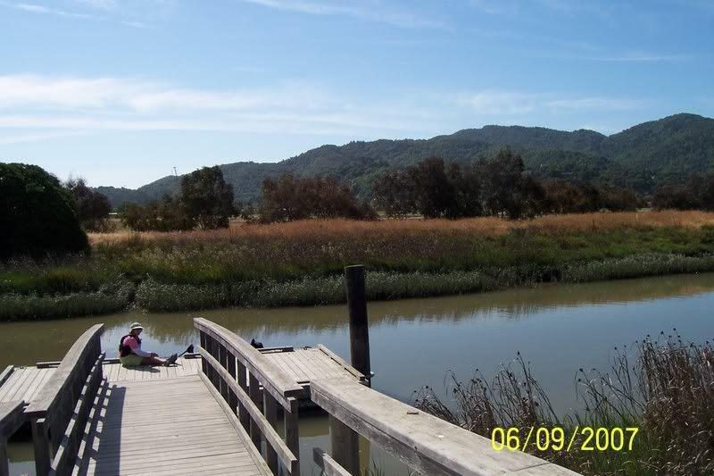
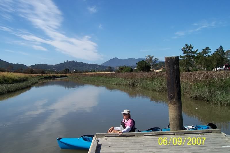
Starting point dock where the mighty Mrs Kepnutz awaits
Let's go already. Mt Tamalpias in background
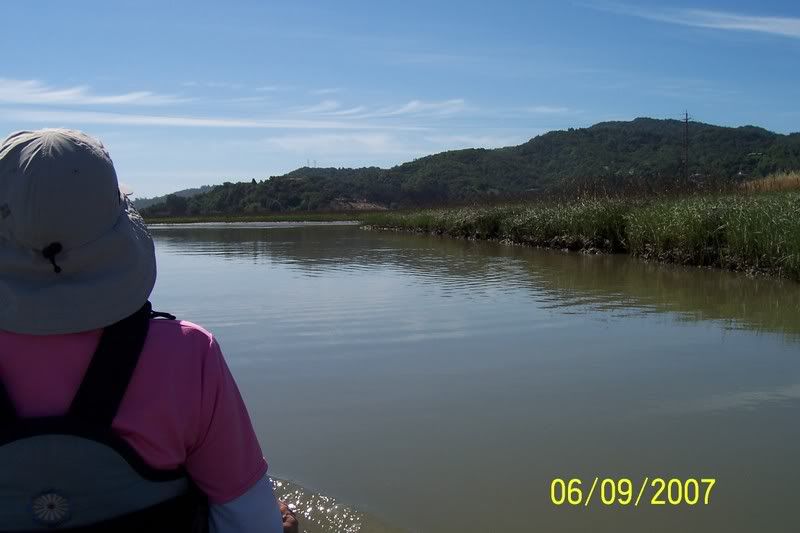
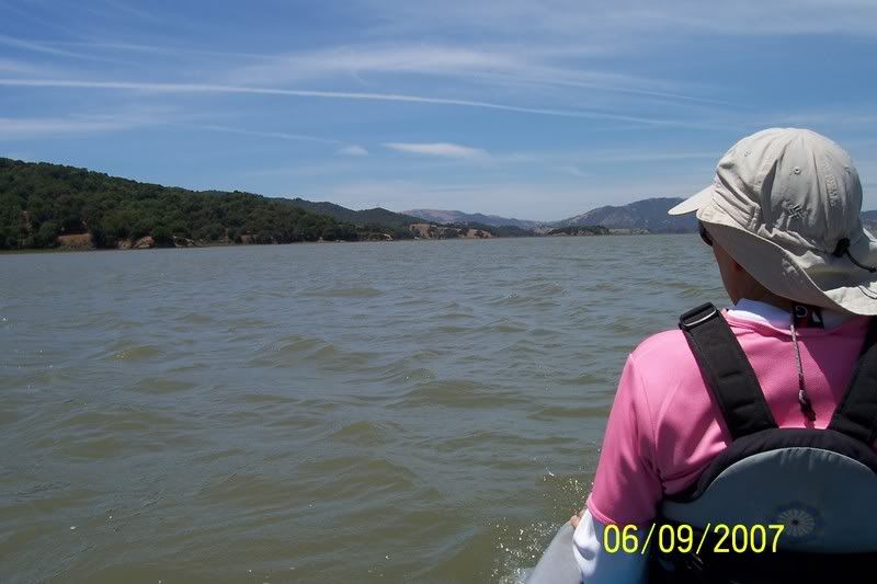
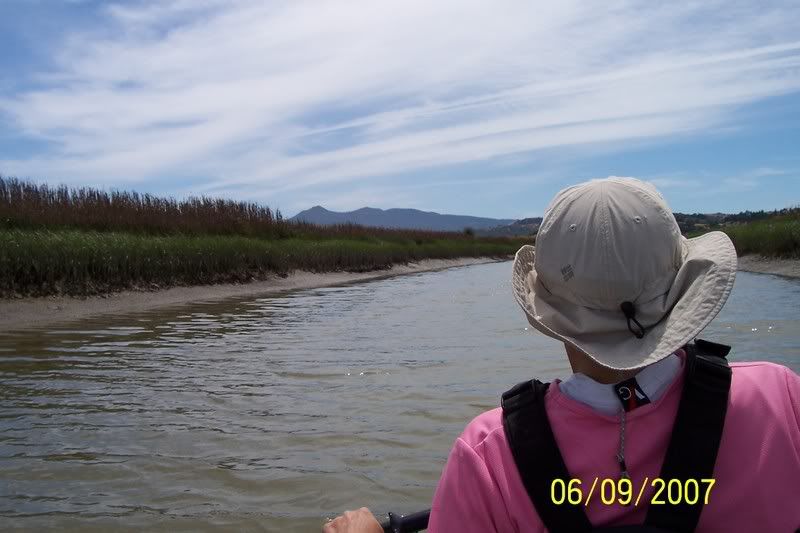
Heading out to the Bay down Galinas creek
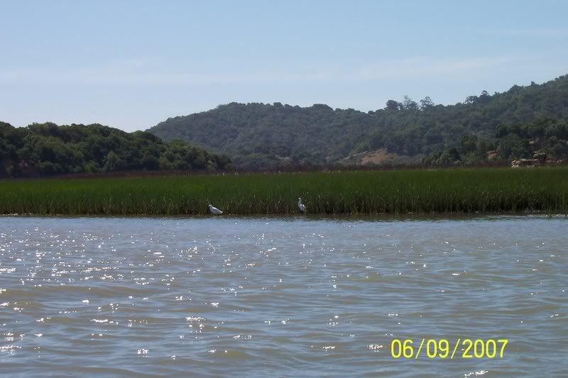
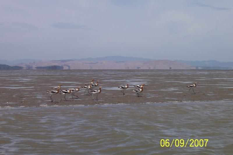
Marshland chickens..

..ok Herons then
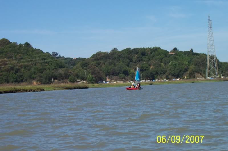
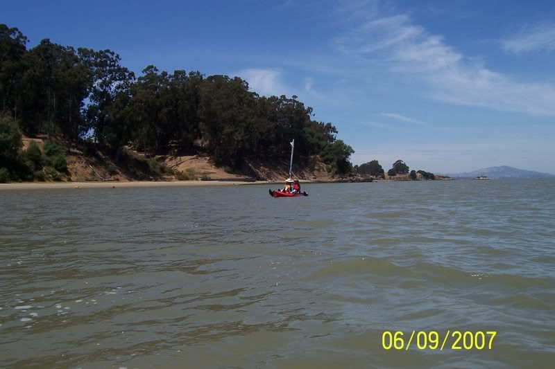
Friends under sail and just about overpowered by increasingly stronger winds

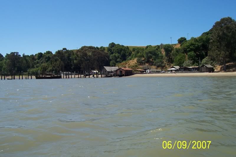
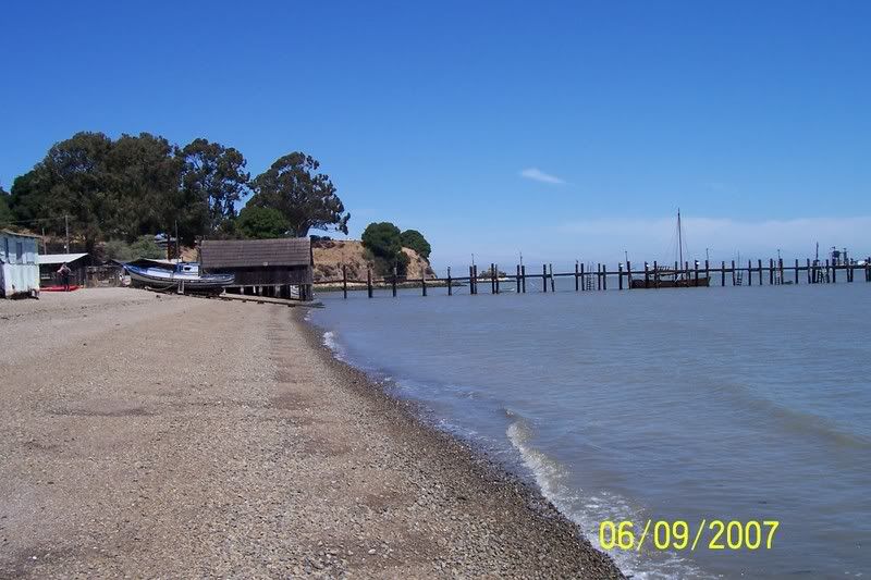
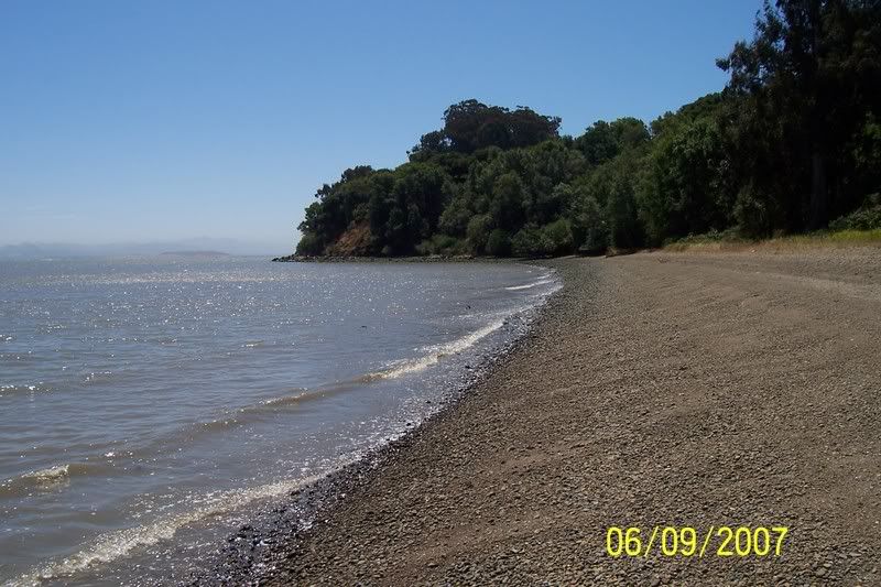
Destination China Camp
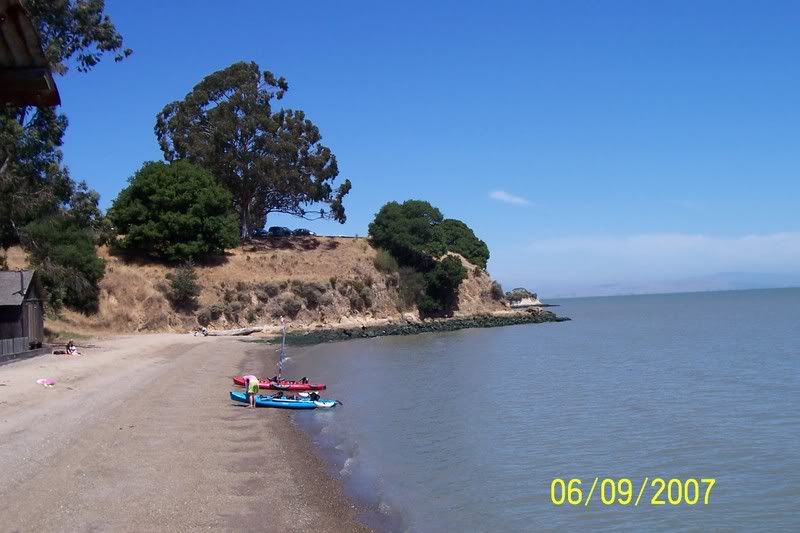
Both Tandem's Beached
View to the North
View South toward San Francisco
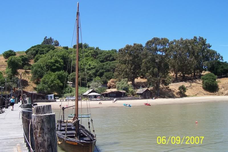
View toward the West from the China Camp fishing dock
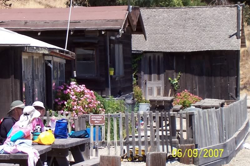
Our lunch bunch with PBJ's n Chips
McNears Beach and our turn around point
Sail rolled up for now due to strong winds
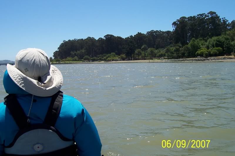
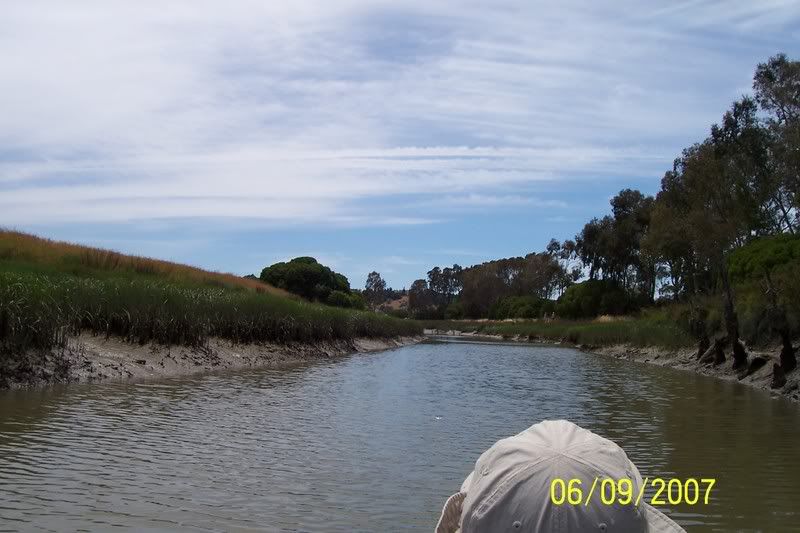
Heading back on the long pedal to port located to the lower right in the distant background hilly area, taken just minutes before breaking my turbo fin mast

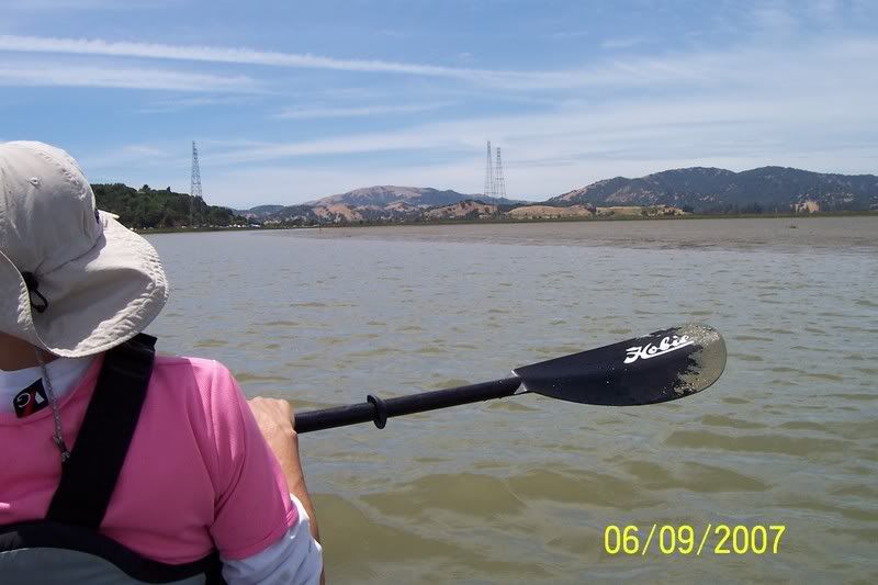
Only the one Mirage Drive left and just one "Seeing-Eye Mud-Dipped Paddle" being constantly used to check the water depth (note right bank .) Water is only 3-1/2 feet or less and we are trying desperately not to get stuck in the deep bay mud at low tide

More marsh Pigeons
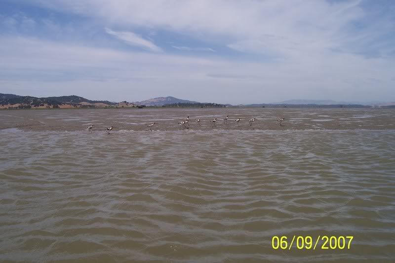
More of the mudflat locals and we are still hoping we can make it back home on this narrow ribbon of water within a large sea of mud
Getting ever closer , all thanks to the hard working Mrs Kepnutz, with Mt Tam in the background
Hooray, we should make it back now, only one hundred more yards to go to the bend and the landing dock

All in all it was a pretty fun and senic trip, yet it was impossible to see just how deep the muddy water was and even at high tide we almost ran aground several times. Our friends did find themselves grounded on the way back and were a good 40 minutes behind us getting back. We could not assist and had to keep going lest our remaining drive broke on another submerged something which would then leave us with just a solitary paddle to return to port on

. If it wasnt for the mighty Mrs Kep doing it all to get us back, we could have been out all night waiting for the tide to rise (max high tide @ 8.50pm) or worse yet not making it back at all..whew...close call there. There were few area's to beach on the way out and back, as it was several plus miles of mud banks in both directions, yet the water was just deep enough to make it through at low tide if one could only manage to stay in the right channel. If we had dwaddled a bit longer at China Camp. perhaps we would have had higher tides and maybe fewer problems on our way back in, so make a note to check the tides if planning to do this trip
Kepnutz