THE ADVENTURE ISLAND LIVES UP TO ITS NAME.
A TRIP TO CATALINA FROM MARINA DEL REY
http://i40.photobucket.com/albums/e221/ ... C_0048.jpg
From day one of owning an AI I wanted to go out to Catalina from Marina Del Rey. I bought the AI in March 08 and finally got to do my trip at the end of July 08. Thanks to allot of very useful information and advice from the forum, what could have been a difficult trip (for me) was much easier than I thought it was going to be. This advice combined with several test runs, observation and researching local weather patterns etc made the trip smooth and worry free. I left the harbor at 5.45 am, Sunday morning feeling I was as ready as I would ever be and felt confident that I would make it.
I got the boat ready by checking the tightness of everything. I discovered the gasket around the front hatch had not been glued in so I glued it with marine cement. On the trip out there I took on no more than ½ a cup of water and I am pretty sure that is where previous leakage came from. I also checked all gaskets around hatches and found some of them not to be seated properly so I shoed them in and cleaned them of sand. I stuffed the hull with bubble wrap and a couple of swimming noodles in all the areas I didn’t need for storage or where I didn’t want things to roll into where I couldn’t get to them. This gave me allot of piece of mind that even if a shark took a chunk out of the kayak it wasn’t going down.
I packed 5 days of water and food and weighted the load with a bias to the windward side (this proved not such a good idea). I brought my bare bones camping set up and ended up at about 65 LB of weight (food, water safety gear, wetsuit included). In retrospect I could have taken much more as I didn’t really notice a significant difference in performance.
My trip hinged on having an escort as a common thread in the forum chat is these trips must not be done alone. So I managed to get a friend with a small sail boat to shadow me for the trip.
We left on Sunday the 27th of July at 5:45:
GETTING READY TO LEAVE
http://i40.photobucket.com/albums/e221/ ... C_0006.jpg
LEAVING M.D.R.
http://i40.photobucket.com/albums/e221/ ... C03862.jpg
LOOKING BACK ON MDR (WHERE’S MY CHACE BOAT?!)
http://i40.photobucket.com/albums/e221/ ... C03864.jpg
I know I had to get out SWW as far as possible before the wind picked up so I could get the best angle to the wind which is normally either from the west or SW. I plotted a waypoint on the GPS 10 nautical miles on a bearing of 214 deg. And set out on the perfect morning. The water was dead calm so I didn’t have to fight the waves.
I got to the waypoint ahead of schedule, hitting it at about 10 am as apposed to the predicted 11.30am. It was at about that point my accompanying vessel caught up as they didn’t leave the harbor for over an hour after I left.
THE CHACE BOAT FINALLY CATCHES UP
http://i40.photobucket.com/albums/e221/ ... C03868.jpg
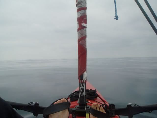
From there I headed out on an angle of 170 deg. This is heading west of the island but I know the further I got out the better the sailing angle would be to the typical wind pattern. Finally noon hit and I was close to the Shipping channels out of Long Beach and still no wind (
http://i40.photobucket.com/albums/e221/ ... C03880.jpg )! Now I started to be concerned as I was feeling OK but was 20 nm in and had another 20 to go and the GPS was saying 11 hours to destination at current speed. At this point I was having second thoughts about the trip as it was glassy still only broken by the occasional family of dolphins.
ATLEAST 100 DOLPHINS
http://s40.photobucket.com/albums/e221/ ... V03876.flv
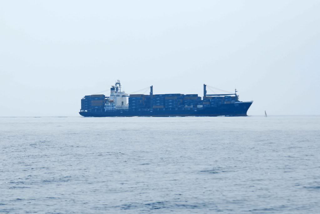
As I approached the shipping lane a ship on the horizon leaving LB suddenly was upon me and as a note to self for next time, always weight for them to pass and go behind them!
MY A.I. TO THE RIGHT OF THE SHIP
http://i40.photobucket.com/albums/e221/ ... C_0032.jpg
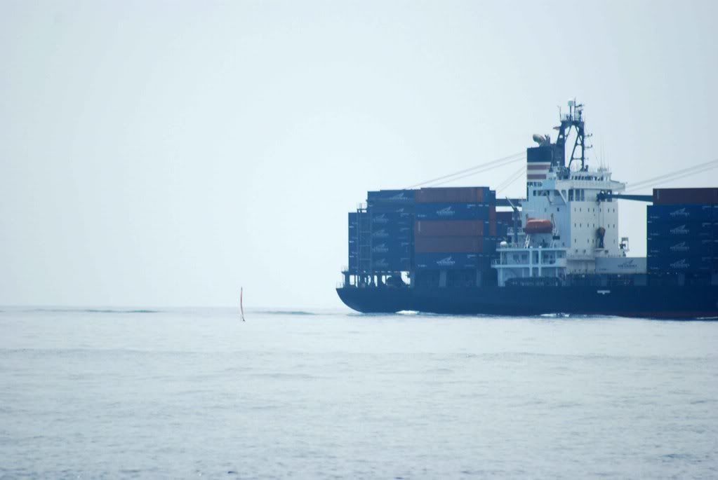
AS IT CLOSED IN I TACKED AROUND HER (I’m the speck to the left of he ship)
http://i40.photobucket.com/albums/e221/ ... C_0036.jpg
Once the ship passed the wind started to pick up but it was coming from the East! I did’t expect that but it still could get me to my end point so it was not a problem but for me having loaded the boat on the starboard side!
The wind was light for the next 10 nm but as the island came in to view the wind shifted to the SW and within 5 nm of the island those winds must have got up to about 25 knots so I furled the sale a little and skipped across the water to the camp site beach. Clocking speeds up to 7.8 knots as per the GPS. This felt really good and a relief to relax the legs.
FINALLY CATCHING THE WIND ON THE APPROACH TO CATALINA:
http://s40.photobucket.com/albums/e221/ ... V03903.flv
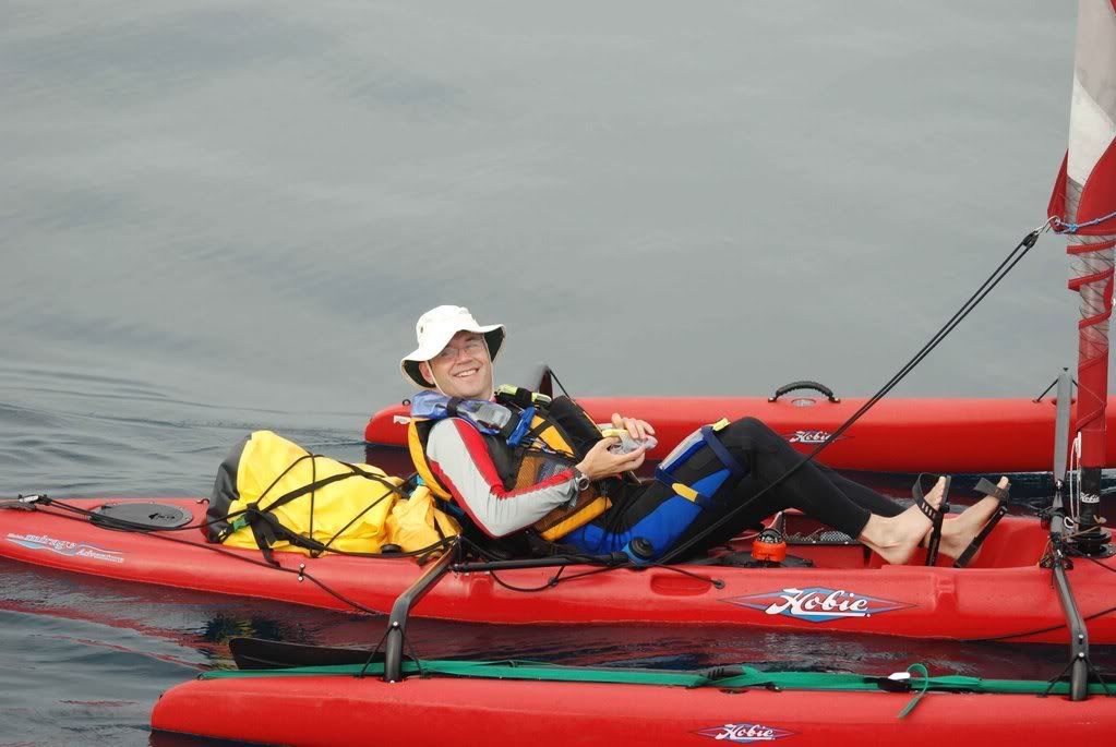
COCKPIT PHOTO TO SHOW MY LAYOUT
http://i40.photobucket.com/albums/e221/ ... C03944.jpg
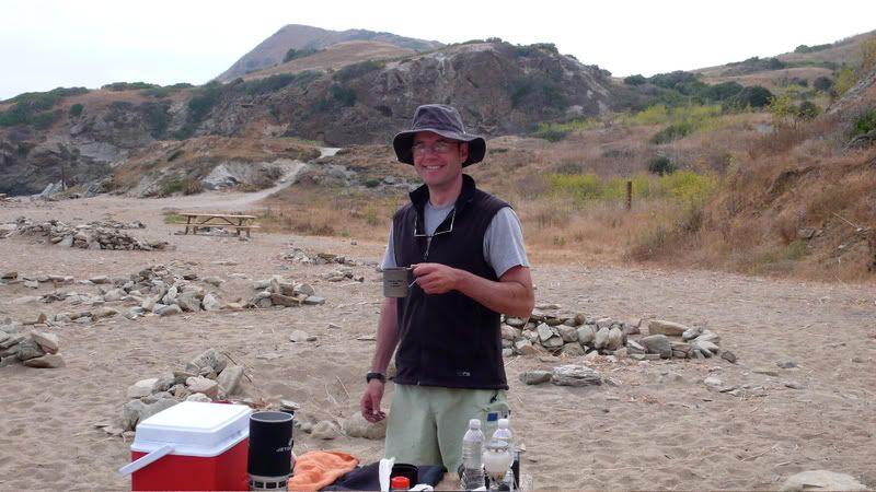
BREAKFAST!
http://i40.photobucket.com/albums/e221/ ... C_0021.jpg
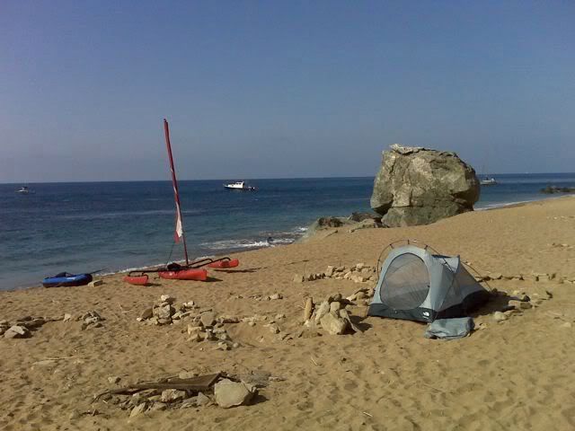
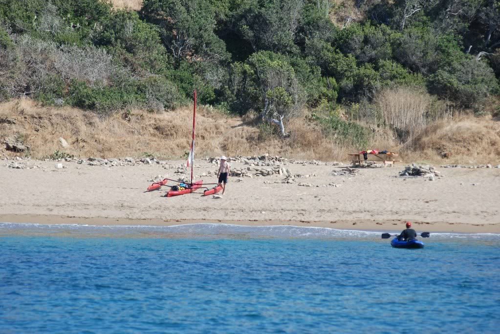
CATALINA – PARSONS LANDING BEACH
http://i40.photobucket.com/albums/e221/ ... C03908.jpg
http://i40.photobucket.com/albums/e221/ ... 0021-2.jpg
http://i40.photobucket.com/albums/e221/ ... C_0049.jpg
http://i40.photobucket.com/albums/e221/ ... nown-1.jpg
The camp sight was great in a sheltered bay with a sandy beach as most are stones and I’m still very precious about my AI and hate to scratch it if I can avoid it. It was deserted for the first night but on our second night the “remotestâ€


